
Satellite InSAR in Gold Mining: What Investors Should Evaluate
Ground movement can affect open-pit walls, waste dumps, tailings facilities, underground workings and nearby infrastructure. Satellite interferometric synthetic aperture radar—usually shortened to InSAR—gives mine operators a way to screen broad areas for surface deformation. For investors, the important question is not whether a company mentions satellite monitoring, but how the data fits into its geotechnical risk-management system.
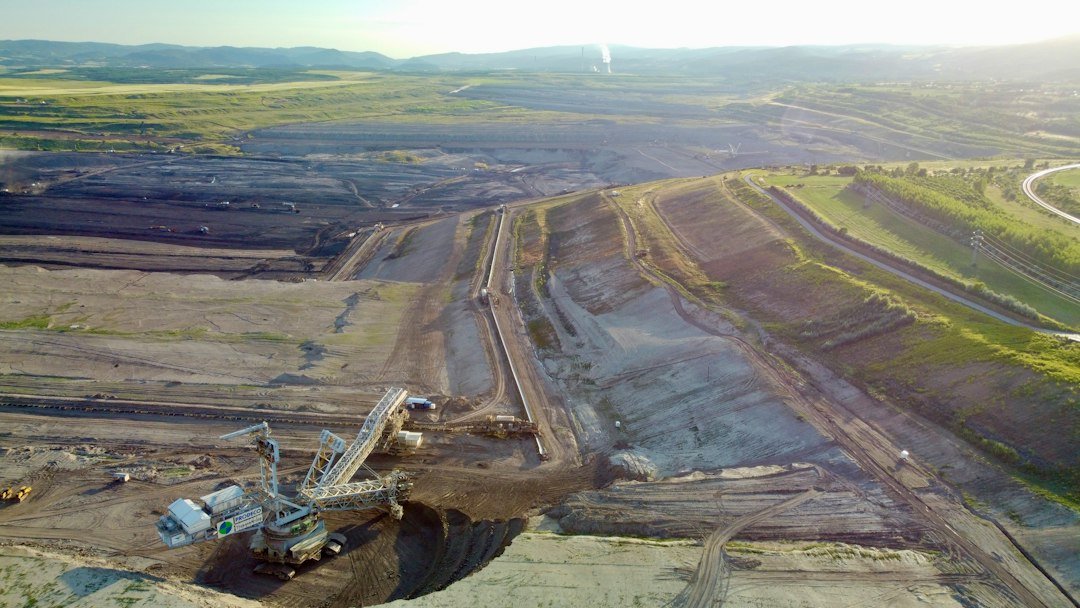
Illustrative aerial mining image; not a GBDS property or evidence of site conditions. Photo by Lukas Marek on Unsplash.
How InSAR Measures Change
InSAR compares the phase of radar signals collected over the same area at different times. The resulting interferogram can reveal movement toward or away from the satellite along its line of sight. The U.S. Geological Survey explains that radar can operate through most weather clouds and in darkness, while covering much larger areas than isolated ground points.
The technology is useful for recognizing spatial patterns: gradual subsidence above underground workings, movement around waste storage areas, or deformation extending beyond an instrumented zone. A 2024 USGS review of remote sensing for mine lands describes InSAR as a method for comparing repeated radar observations to assess surface-deformation patterns. NASA’s catalog also includes research using satellite InSAR to detect mining-induced subsidence.
Where the Technology Adds Value
Satellite coverage can extend surveillance across a mining district, including remote or difficult terrain. Historical radar archives may help establish whether movement began before a new monitoring program. Broad screening can also guide where to install prisms, survey monuments, ground-based radar, piezometers or other instruments. ESA has demonstrated that Sentinel-1 data can map land motion associated with processes including mining and groundwater change.
Important Limits Investors Should Recognize
InSAR is not a continuous alarm for every hazard. Satellites collect observations on revisit schedules, and processing adds time. The measurement is primarily line-of-sight movement, not a complete three-dimensional displacement vector. Vegetation, snow, rapid surface change and unfavorable viewing geometry can reduce coherence or hide part of the movement. Millimeter-scale capability under suitable conditions should not be confused with guaranteed accuracy at every mine.
Results also require context. Apparent deformation may reflect groundwater withdrawal, seasonal soil behavior, construction or data-processing choices rather than an unstable mine feature. Conversely, a fast failure can develop between usable observations. NASA/JPL’s interferometry explanation emphasizes that repeat SAR images reveal surface motion over the interval between acquisitions. That makes InSAR complementary to—not a substitute for—frequent ground instruments, inspections and geotechnical interpretation.
Hypothetical Trend Example
Hypothetical example: A monitored zone moves 3 millimeters per month for three months and then 8 millimeters in the fourth month. The cumulative movement is 17 millimeters, but the more important observation is the apparent acceleration from 3 to 8 millimeters. That change would warrant review of data quality, rainfall, blasting, groundwater, slope geometry and ground-based instruments. It does not, by itself, predict failure. Alert thresholds must be designed by qualified professionals for the specific site.
Questions for Due Diligence
Investors can ask which assets are covered, how often usable observations arrive, whether ascending and descending satellite views are analyzed, and how gaps or low-coherence areas are handled. They should also ask who reviews the results, how satellite trends are reconciled with ground instruments, what triggers escalation, and whether monitoring plans change as pits deepen, dumps expand or closure conditions evolve.
InSAR can improve spatial awareness and help identify slow-moving trends, but technology does not remove geotechnical uncertainty. Its value depends on data quality, disciplined interpretation, timely response and integration with a broader monitoring program.
Educational disclaimer: This article provides general information only and is not investment, engineering, legal or tax advice. Mining investments involve geological, operational, environmental, commodity-price, financing and jurisdictional risks. Review current technical reports and regulatory filings and consult qualified advisers before making an investment decision.